Rob Roy Way
Rob Roy MacGregor’s name pops up frequently in our guides to Loch Lomond & The Trossachs. The notorious outlaw was born in 1671 at Glengyle by Loch Katrine. He died in 1734 and is buried at Balquhidder. You can read more about the man who became a legend in his lifetime at our Rob Roy guide.
The outlaws stomping ground covers much of the area that is now Scotland’s first national park, which includes the village of Drymen, the start of the Rob Roy Way, a 128km (79 miles) walk/cycle to Pitlochry in Perthshire.
The route became one of Scotland’s Great Trails in 2012. All the Great Trails in Loch Lomond & The Trossachs are listed here.
Recently Drymen Community Development Trust was awarded funding to upgrade the bus shelter at the Village Square (as pictured above). Solar panels now power lighting within it, and an e-bike charger is next to it. As part of its makeover, a mural was hand-painted within the shelter about the Rob Roy Way by Cameron Reid, a talented young artist from the village.
As well as brightening up a dull bus shelter, the mural clearly shows the official start of the Rob Roy Way, as previously, there was nothing to confirm this location.
There has been increased interest in the Rob Roy Way, and touches like this promote a trail that is less famous than nearby West Highland Way or John Muir Way.
Business Support
Marketing, Video, Websites & Photography
How difficult is the Rob Roy Way?
The Rob Roy way passes through pretty villages, forests, and glens, often using cycle trails on former railway routes. Generally, it is a relatively easy trail with good pathways.
How long does it take to walk The Rob Roy Way?
Walkers usually complete in 6-8 days, cyclists around 3-4 days.
Scroll down for an overview of the route.
Rob Roy Way Route
Back to Drymen, the starting point and at the Square, you will find Scotland’s oldest licenced pub, The Clachan. The first landlady is said to have been a relative of Rob Roy. If you have an hour or two to spare, follow the Drymen Heritage Trail, which also starts at the Village Square, to discover some great stories about the village and its buildings.
Blue signs show the route of the Rob Roy Way, which takes you past the Clachan up a hill and out of the village. As you approach the forest, the trail crosses the West Highland Way. Entering The Trossachs, and the villages of Gartmore and Aberfoyle, then beside Loch Venachar and into Callander, before heading north by Loch Lubnaig to Strathyre.
Look out for some of the pipes and aqueducts that make up the Loch Katrine water water system, opened by Queen Victoria in 1859. Designed to provide clean water to Glasgow and much of Central Scotland, the innovative system still provides this vital role, sending millions of gallons of water each day to Milngavie, just outside Glasgow.
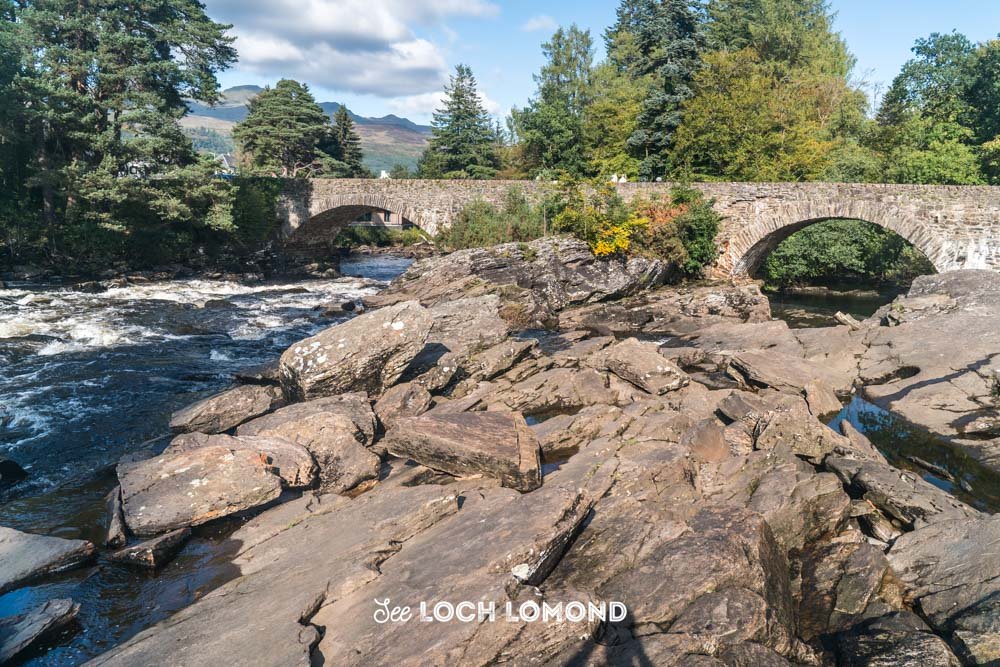
The route includes the magnificent Glen Ogle Viaduct, with some excellent views of Loch Earb, before heading into Killin, where you can take in the incredible Falls of Dochart. Just a tiny section of Loch Tay beyond Killin is in the National Park, but you’ll be close to it as you head towards Aberfeldy, in Perthshire, before going over the moors to the end of the route at Pitlochry.
That’s just a flavour of the route. As mentioned, Rob Roy Way shares much of the route with cycle route NCN7.
We also have individual guides to stretches of NCN7 which you may find helpful. These are:
We also have guides about some of the towns, villages and lochs along the route. These are:
Local photographer
Weddings & Family Photoshoots
Thanks for reading
Words and photography by Paul Saunders. Visit Paul’s Marketing and Photography websites for details of his services in Scotland.
Please let us know if you found the guide helpful in the comments section below.


Buy our guidebook, 101 Things to Do in Loch Lomond and the Trossachs, packed with attractions, views, and activities to enjoy.